Dunkeld is in a nice position near forests next to the River Tay, with a crossing via an 1809 stone bridge designed by the famous British engineer Thomas Telford.


The busy tourism centre of Pitlochry is significant because the hydro-electric authority built a 'ladder' to enable salmon to get past the dam wall that otherwise blocks their progress upstream.
The ladder comprises a series of rectangular cement ponds each higher than the previous one, which are joined by underwater pipes. There is an underwater viewing platform for the public where two of the ponds are joined (we didn't see any salmon, though). About 5,000 salmon pass through the ladder annually; the counter at the information centre show that about 3,000 have already passed through this year.

After Pitlochry we followed another Sustrans route, the most northern section of 'Lochs & Glens' via Blair Athol (where there is a striking castle) and the Drumochter Pass to Newtonmore in the beautiful Scottish Highlands. The welcome sign higlighted that we were entering the Gaelic language area of Northern Scotland, where many signs are bilingual in English & Gaelic. [Monday 4/7: distance120 km; climbing 1023 m]


On Tuesday the quiet Sustrans route took us through attractive scenery to Inverness, against the backdrop of various mountains, including the Cairngorms - a series of granite masses that comprise the largest national park in Britain and contain 6 of the 7 highest peaks in Scotland.
We passed through popular hiking and winter sport towns like Kingussie, Aviemore (which has Britain's only downhill skiing resort) and Carrbridge (where there is an unusual stone bridge). Aviemore is the largest of these towns and was crowded with people enjoying the highlands in summer. Closer to Inverness we viewed Bronze Age chambered burial cairns at Clave.


Inverness is another attractive city, sited next to the River Ness with a castle on a hill right next to the centre. [Tuesday 5/7: distance 85 km; climbing 584 m]


The ride on Wednesday went from inverness north to Lairg via a ferry crossing at Cromarty, following Sustrans route 1. Just out of Inverness we crossed another major bridge, across the Moray Firth.
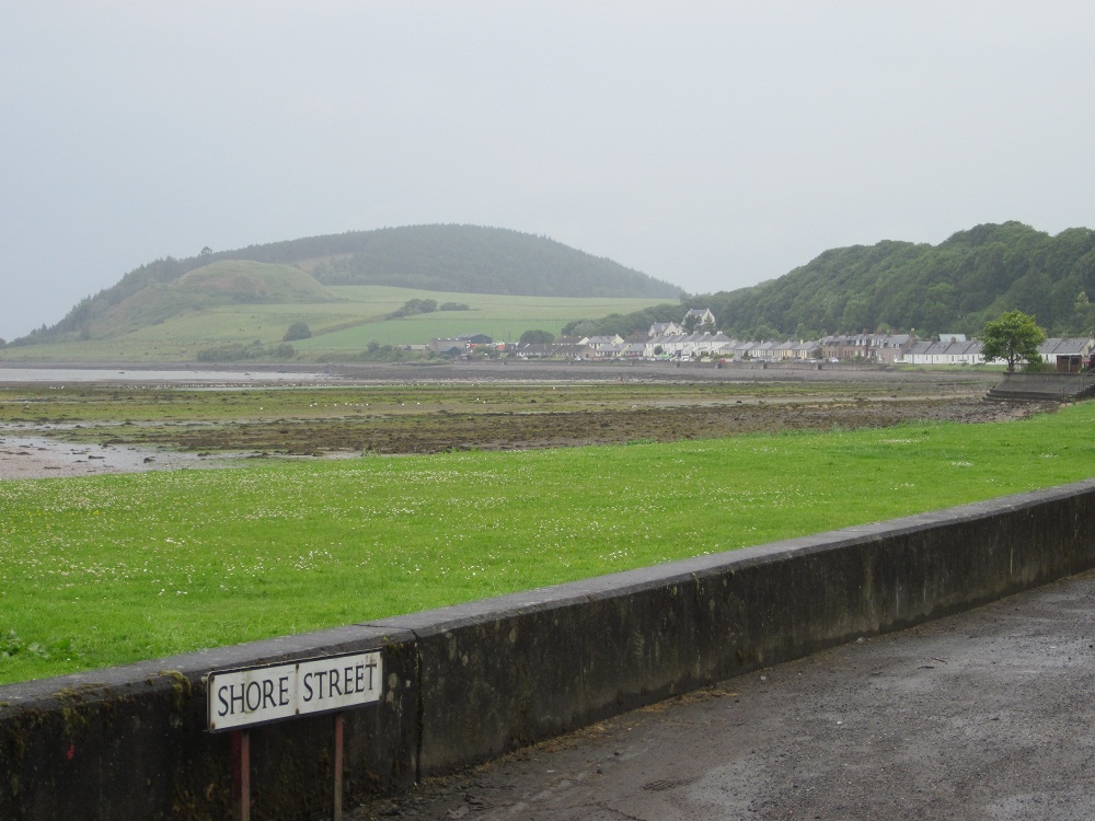
Then our luck with the weather finally ran out, as it rained for most of the morning - the first wet weather since we were in south west England two weeks earlier. On our way to Cromarty we passed through several coastal villages as well as riding along a ridge with great views.
Then our luck with the weather finally ran out, as it rained for most of the morning - the first wet weather since we were in south west England two weeks earlier. On our way to Cromarty we passed through several coastal villages as well as riding along a ridge with great views.


We and two other cycletourists (who we'd chatted to in previous days) were the only passengers on the crossing. It was a nice gesture, since due to the strong winds it was difficult for the ferry to dock on the ramp to pick us up and there were no vehicles waiting. This saved us riding an additional 48km that day had we not been able to cross on the ferry.


No comments:
Post a Comment